Professional Identification Survey Services in Queensland
Expert Identification Surveys on the Gold Coast & Hervey Bay.
What is an Identification Survey?
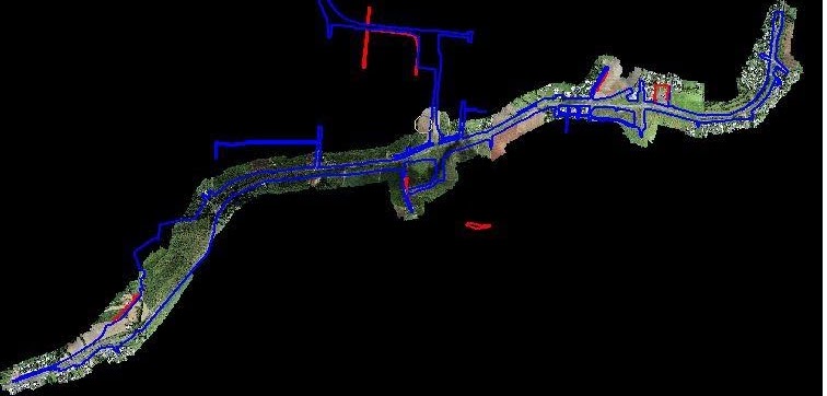
Conducted by licenced surveyors, Identification Surveys outline a property’s exact boundaries, including its corners and structures. Also known as boundary surveys, these extensive assessments map out the dimensions of a parcel of land to correlate them with the registered property title.
Professional cadastral surveyors document their findings in detailed reports, outlining discrepancies, plans, and recommendations.
When to Conduct a Boundary Survey
There are several reasons for conducting an Identification Survey. Common cases include:
- Encroachment and Boundary Disputes. If you are disputing property lines, fencing, retaining walls, or encroachment with your neighbour, a boundary survey can help set the record straight.
- New Builds. Boundary surveys are necessary for new building projects, including house builds, extensions, and erecting a new fence on your property.
- Planned Development. Identification surveys are crucial for planned development and subdivision projects, outlining the areas for work to take place.
- Purchasing a Property. Imagine buying a property only to learn later it isn’t as big as you were led to believe. Boundary surveys conducted prior to purchase provide a transparent overview of the property lines to help you make an informed buying decision.
Contact Us
Why Prepare an Identification Survey Report?

Identification Surveys are incredibly valuable documents for home and business owners, buyers, and contractors. Here’s why:
- Official Land Record. Boundary surveys provide homeowners and prospective buyers with valuable insights into the property. Not only do they keep landowners informed about property lines and restrictions, but they also allow buyers insight into their potential purchase, protecting them from issues down the road.
- Safeguards Disputes. Whether conflicting with your neighbour through the fence, attending mediation, or arguing your position in court, Identification surveys provide supporting documentation in boundary disputes.
- Guides Architects and Builders. Identification Surveys clearly outline land boundaries and corners, showing contractors where they can and can’t operate on the property.
- Supporting Documents for Development Applications. If seeking Council approval for a new development project, boundary surveys provide key insights into the property, including zoning and overlays.
- Protects Your Investment. More than a document that identifies boundary lines, Identification Surveys highlight encroachments and irregularities and confirm compliance with local council regulations to protect you from hefty legal costs and future boundary issues.
How We Can Help
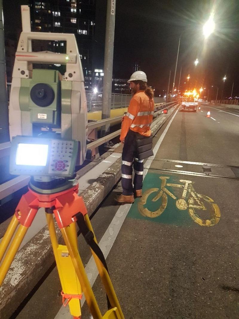
Accurate and detailed reporting is crucial in our line of work. That’s why our licenced team uses their years of experience to draft and deliver comprehensive identification surveys to all of our clients, helping them make informed decisions about their properties. Here’s how Kaymak Survey can help:
- Research and obtain relevant property survey records
- Comprehensive inspection of the premises
- Define boundaries for new and existing builds using the latest technology and equipment
- Provide detailed field notes
- Identify encroachments
- Draft survey plans, including drawings and resources
- Submit survey plans to the relevant government agency
- Advice and solutions for improvement or dispute resolution
Call us today
Brad L.
“Michael from Kaymak was super friendly and he completed the survey work to a high standard. He also clearly explained the property boundary to us afterwards. Very happy with their service and I highly recommend Kaymak!”
Graeme J.
“Excellent surveyors. Good communication skills. They knew what to do. The work was done on time and I received the report a relatively short time later. I could not be happier. I would use again.”
Kate P.
“Best surveyors on the coast. Kieran and his team are incredibly responsive, professional and organised. Really fair and competitive rates. Highly recommend!”